Prerequisites
To setup a Point Cloud database, you need laser scanned point cloud files, location coordinates (x,y,x) of scan positions and related model. Let's assume that you already have e.g. Zoeller and Fruelich LIDAR files with scan positions and a model.
Publish .nwd files
First thing to do is to open .zfs files to the Navisworks one by one and publish them to .nwd files. That is because .nwd files are much smaller in size than scanned point cloud files and that's why they are loading much quicker when using program. You can also optionally use Navistools Publisher to do that if have plenty of files. All published .nwd files, original point cloud files and image files had to locate in the same folder.

Create new database and export Excel template
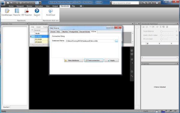
Create a new SQLite database with DataManager. At this example we saved it as Test.s3db
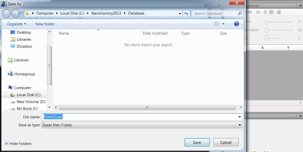
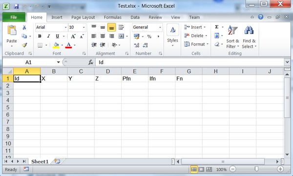
After that change focus to the PointCloud window and press Refresh button. This action updates DataGridView control to use PointCloud table from just created Test.s3db database. After that press Excel Export button and give a file name. We are now using name Test.xlsx
This way you get empty Excel file with heading information from the database. Each heading is representing a database column.
For your convience, there is also ready to use Excel template Template.xlsx available in C:\Navistools20xx\PointCloud folder.
Fill Excel file with required information
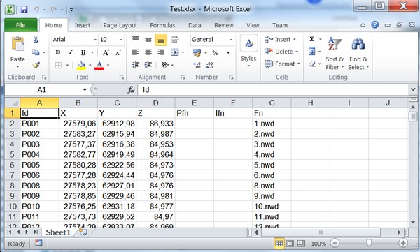
Next thing to do is to fill empty Excel file with required information and import it back to the database. Fill data to the Excel using following columns starting from second row.
| Id | Unique id of scan position e.g. P001 and so on... |
| X | X-coordinate of scan position |
| Y | Y-coordinate of scan position |
| Z | Z-coordinate of scan position |
| Pfn | Point cloud or any other file that is launched with specific application by Launch PointCloud function. Field is displayed as Attachment in the Navistools User Interface. (not required) |
| Ifn | Image file which is launched by Launch Image function. Field is displayed as Image in the UI. (not required) |
| Fn | Scan position file name. File is appended/removed to/from Navisworks when navigational position changes. Can be any file type that is supported by Navisworks. This field is displayed as Scan in the UI (required) |
Excel file with filled information
Import filled Excel file back to the database
Next you need to import filled Excel file back to the database. You can use Excel Import → Import command to do that.
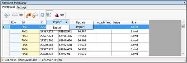
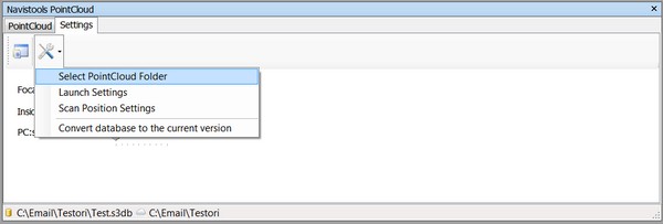
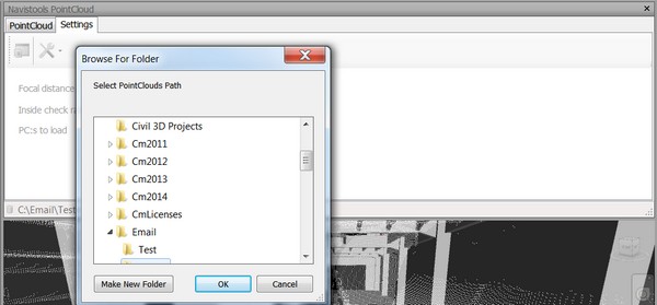
After that still change a directory to the folder where all point cloud and image files are locating with Select Point Cloud folder button. Now point cloud database is ready for use.